

Extending over more than 3,000 km², the Grand Amiénois is a contrasting territory combining rural areas, structuring towns and the direct influence of the Amiens agglomeration.
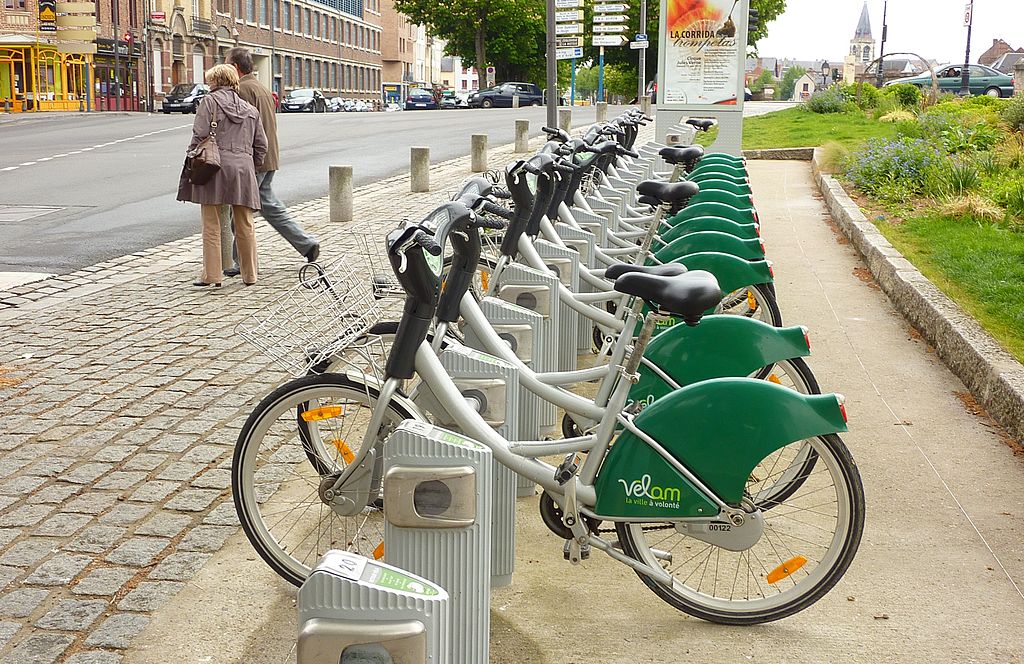
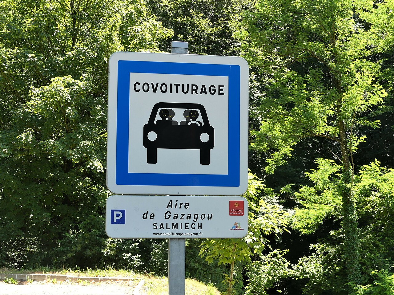
To meet the diversity of contexts and needs, Explain supported the Metropolitan Pole in the definition of a common planning base, articulating daily and active mobilities.
The mission was organized in several stages:
The study resulted in the production of a shared repository between EPCIs, guaranteeing the coherence of local policies while respecting the specificities of each territory.
The approach aimed to provide Grand Amiénois with a strategic and unifying tool, facilitating the convergence of local mobility policies.
Explain had the following goals:
The study made it possible to establish a common culture of mobility within the six member intercommunalities. The plans and diagrams produced offer a coherent and shared vision of infrastructures and services, while valuing local singularities.By relying on a participatory method and shared GIS tools, Explain has strengthened the capacity of the territory to Moving from planning to action, with clear and concerted investment priorities.
Since the acquisition of mobility skills is new for EPCIs, and the territory is vast and brings together a significant number of actors, a need for support and pedagogy is necessary. Our Firm monitors through educational materials (conceptual diagram, cartography, cartography, illustrated examples, benchmark...), and consultation actions (online questionnaire, consultation workshop, time
plenary) to mobilize all actors towards a global and shared mobility strategy.


%20(1).webp)