Regional master plan for carpooling areas

Carpool sign - Author: Father Igor

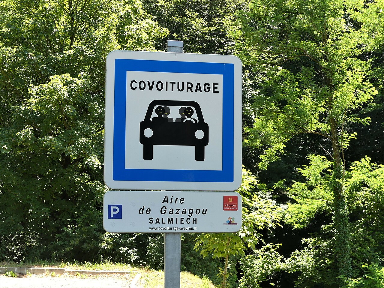
As part of its proactive policy in favor of shared and low-carbon mobility, the Occitanie Region wanted to acquire a strategic planning tool to structure its network of carpooling areas.

Explain conducted a regional mission, mobilizing both data analysis, territorial surveys and flow modeling :

  1. Regional state of affairs
    • Inventory and geolocation of more than 1,000 existing carpooling areas (all project owners combined).
    • Analysis of the attendance, equipment, connectivity and accessibility of each area.
  2. Potential demand analysis
    • Exploitation of INSEE data and home-work trips.
    • Modeling of intercommunal flows and identification of structuring axes of carpooling.
  3. Prioritization and strategy
    • Elaboration of a regional reference system of areas, classifying the sites into three levels: structuring, relay and local.
    • Definition of planning and governance principles : location, sizing, sharing with other functions (P+R, TAD stops, hubs).
  4. Action plan and programming
    • Interactive regional mapping.
    • Definition of an investment plan and a 10-year deployment schedule.

This integrated approach made it possible to build a operational management tool at the service of territories and institutional partners, while ensuring coherence with mobility policies (SRADDET, PDMR, PCAET).

Objectifs clés

The objective of the mission was to structure and harmonize the carpooling offer at the regional level, in order to make it a major driver of the energy transition.
Explain aimed to:

  • Identify priority areas for development;
  • Prioritize needs according to the intensity of home-work flows;
  • Define a homogeneous technical and financial framework for local actors;
  • Encourage the coherence and readability of the regional carpooling network.

Bénéfices

The study allowed the Occitanie Region to acquire a unique planning tool at the regional level, facilitating coordination between communities, operators and road managers.The results offer a clear and hierarchical vision of the offer And a prioritization of investments according to territorial needs. Explain also produced a dynamic and interoperable mapping, which can be directly integrated into regional mobility observation tools.

Conclusion

Explain provided its expertise in defining the regional master plan for carpooling areas by carrying out 2 parallel and closely linked processes: a technical process and a decision support process to guide elected officials and technicians.

Client
Occitanie Region
Année
2024

Join a team expert and committed

Explain is a demanding, caring team, and always curious to welcome new profiles. Do you want to learn, transmit and have a real impact on the mobility of tomorrow? Let's talk about it.

Text Rotate
Background Image