


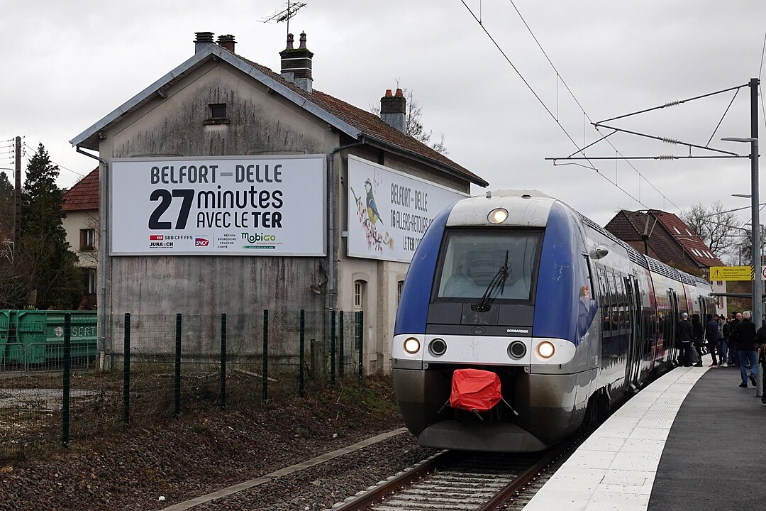
The Rouen territory is a major railway hub, where regional, interregional and national flows converge.
In order to support the reflections on the New Rouen Saint-Sever station, the modernization of existing infrastructures and the coordination of TER and Intercity offers, SNCF Réseau Mandated Explain to make a detailed modeling of the railway star and its relationship with other modes of transport.
The mission is based on an integrated approach, at the crossroads of railway planning and multimodal simulation :
Explain's approach, focused on multimodal coherence, made it possible toobjectifying development choices as part of the future SERM and to prepare for consultation around the new station and its regional connections.
The aim of the mission was to:
The study allowed SNCF Réseau to have a quantified and shared evaluation of the performance of the network and its prospects for evolution.The results facilitated coordination between institutional and technical partners (Normandy Region, Metropolis, State services) .Thanks to Explain's modeling, the SERM approach is now based on a objective and reproducible basis to prioritize rail projects and measure their effects on global mobility.
With its knowledge of the MRN model and rail issues in peri-urban areas, EXPLAIN masters both the tool, the approach and the needs of SNCF Réseau. This allows him to carry out this study on time by interacting regularly with the LNPN and “Capacity” teams.


%20(1).webp)