


In a context of lack of recent data such as EMC², the European Metropolis of Lille wanted to have a operational tool for multimodal simulation to support the planning of its infrastructure. Explain was commissioned to design and calibrate this model as part of the phase 1 of setting up the MEL multimodal model.
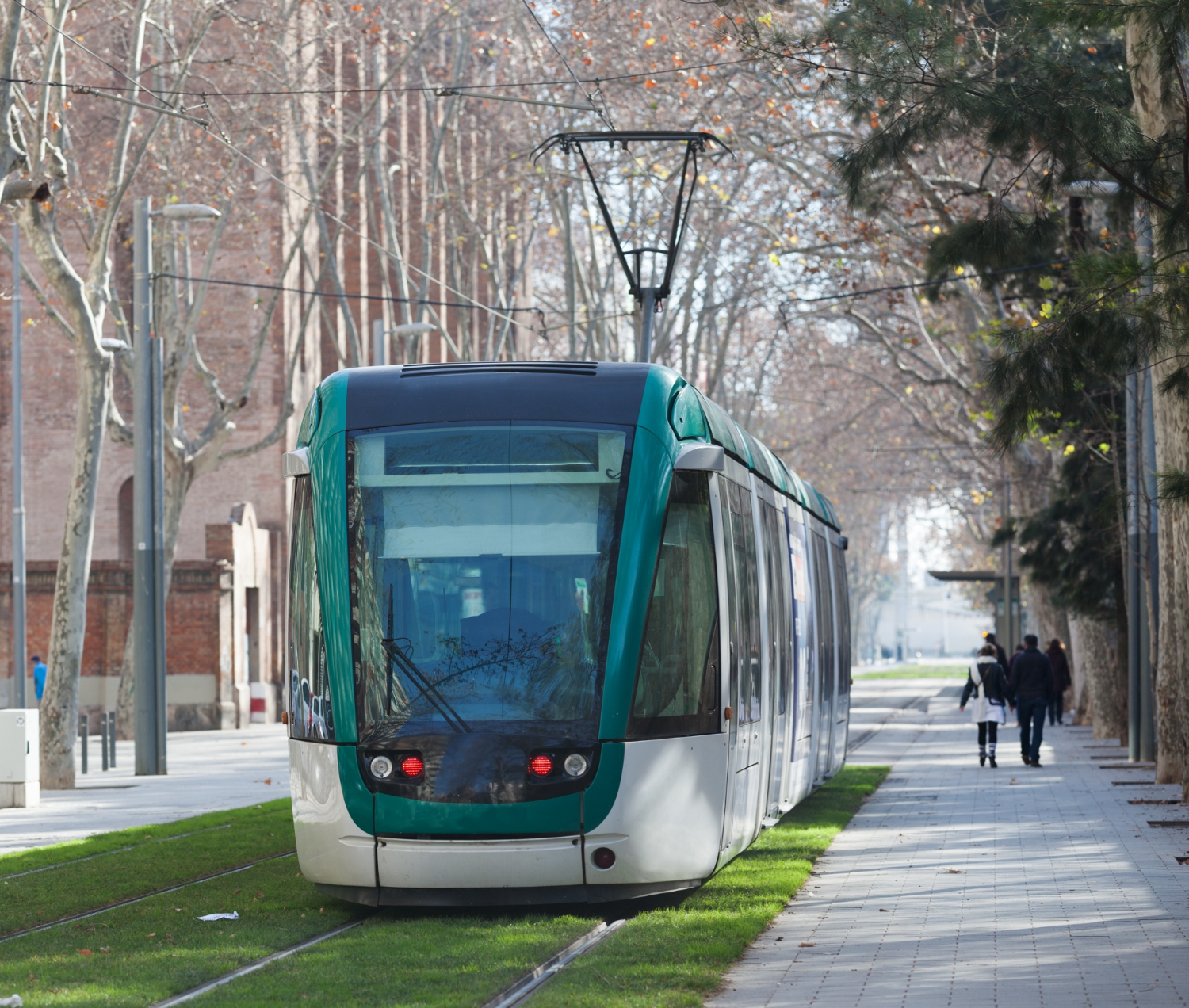
This first tool aims to represent flows. Roads and public transport over the entire district of Lille (674 IRIS zones and 87 point generators) and is based on a complete reconstruction of transport supply and demand by 2022—23.
The model combines:
The route search and assignment algorithms have been adjusted to best reflect the observed behaviors, and a Logit modal choice model was set up in order to compare the relative uses of VP and TC modes.
Finally, a procedure for generating trips links changes in population, employment and school numbers to the flows produced and attracted, allowing the model to project mobilities by 2035 within the framework of the SDIT.
In 2025, Explain delivered version 2 of the model including the complete recalibration of road matrices : improvement of the network, hourly and directional counting base, and automatic adjustment. This adjustment made it possible to reach an exceptional level of calibration, with more than 95% of count points with a GEH < 5.
The main objective of the approach was to provide the MEL with a robust and scalable mobility model, capable of:
The model is now The metropolitan reference for the simulation of movements. It allows the MEL to precisely quantifying the effects of a project : modal reports, traffic variations, environmental or socio-economic impacts. Thanks to the 2025 adjustment, the simulations offer a increased reliability of road service levels, a reinforced consistency with field counts, and better sensitivity to changes in the TC offer. The model is upgradeable : it will be recalibrated starting with the next EMC² (2025) to become a true multimodal tool integrating active mobility and SERM.
With this project, Explain affirms its position of reference in the design and layout of complex multimodal models.The MEL model — Phase 1 — constitutes a major methodological and operational base for the planning of mobility in the Lille metropolis. It offers the community a scientific, robust and sustainable tool, at the service of better planned and more sustainable metropolitan mobility.


%20(1).webp)