


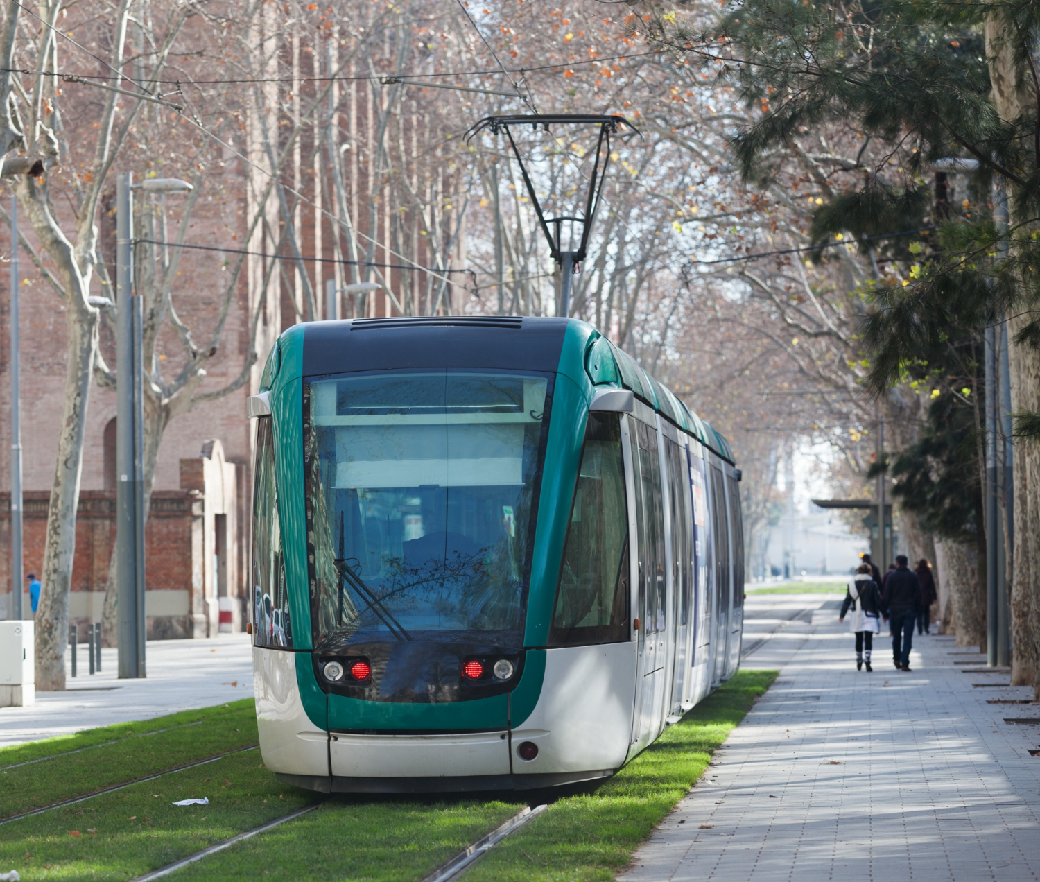
With more than 500,000 inhabitants and a structuring transport network that is in full evolution, Rouen Normandy Metropolis wanted to have a modern, robust and shareable tool to support its mobility planning.
Explain has thus ensured the design, development and complete calibration of the metropolitan multimodal model, covering all internal movements and exchanges over a larger territory.
The mission mobilized Explain's know-how in strategic modeling and data structuring:
The model is now used for assess the effects of major projects such as BRT lines, structural bicycle schemes or reorganizations of the road network.
The mission aimed to provide the Metropolis with a reference tool for mobility planning, meeting several needs:
The model developed by Explain allows the Rouen Normandy Metropolis to quickly test planning scenarios, to anticipate their effects and to assess their economic and environmental relevance. The tool constitutes a shared knowledge base facilitating coordination between public and technical actors, and promotes a global approach to mobility.Thanks to its scalable design, the model can integrate new data sources and adapt to future challenges (decarbonization, urban logistics, MaaS).
Our approach is based on recent advances in research in the field of modeling to overcome classical constraints. Since transparency and pedagogy are at the heart of our approach, numerous didactic technical notes are produced on each of the items necessary for the model. The model is provided with a complete calibration report ensuring perfect reproducibility of the approach as well as a guide and differentiated training according to the needs of future users.


%20(1).webp)