

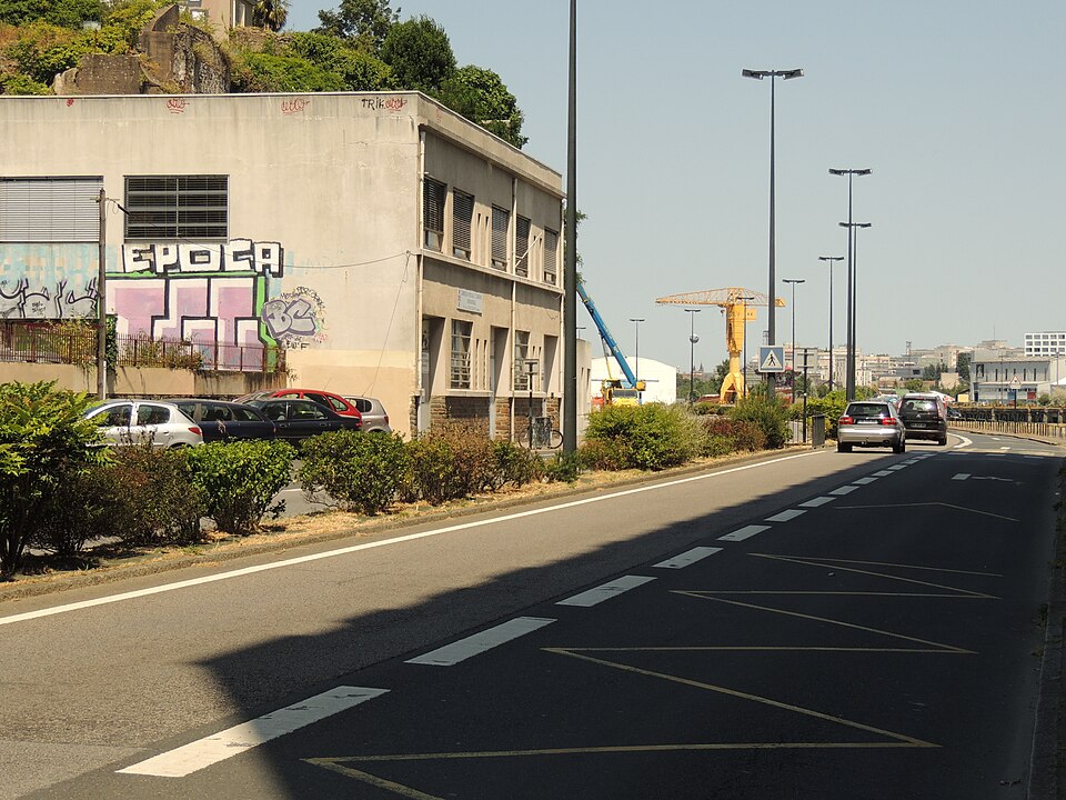
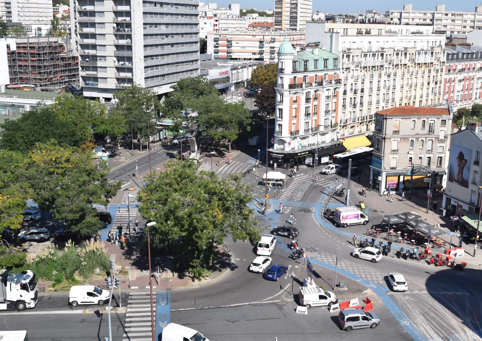
The Cardiff—Aiguillon—Renaud wharf axis constitutes a strategic itinerary of the Nantes bicycle network, connecting Salvador Allende Boulevard to the Louisiana roundabout.
In a context of constrained areas and multiple uses, the objective of the study is to recomposing public space in order to ensure a high level of service for cyclists, while maintaining the overall functionality of the axis.
The approach led by Explain was based on a progressive and concerted methodology:
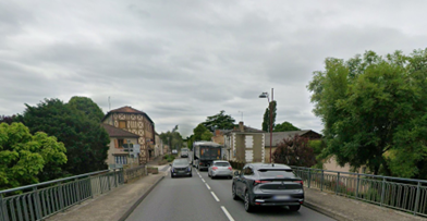
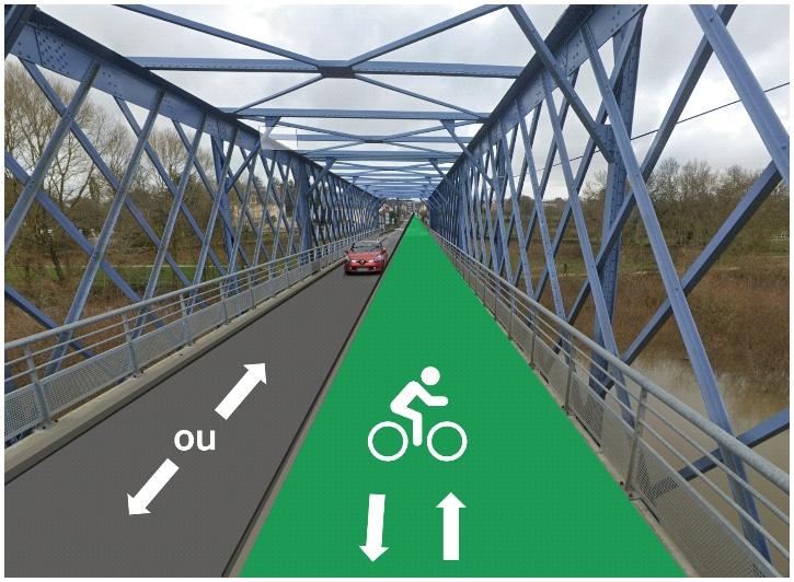
The proposals were formalized using long profiles, cross profiles and 1/1000th plans, making it possible to accurately assess the widths allocated to each use, in particular to the law of hard spots : pavement reductions, bus stops, pedestrian crossings and intersections.
Thanks to the intervention ofExplain, Nantes Métropole Has a clear and shared framework to guide future developments in the axis.The integration schemes produced constitute a decision support tool facilitating the transition to operational phases, while securing development choices in light of technical constraints and political objectives.The mission contributes to strengthening the coherence and legibility of the structuring cycle network at the metropolitan level.
This project illustrates the expertise ofExplain In the design of complex cycling facilities, at the interface between mobility, public space and urban uses.
The integration study of the Cardiff—Aiguillon—Renaud docks provides Nantes Métropole robust and operational guidelines to support the development of efficient and integrated bicycle mobility.


%20(1).webp)